GIS Unit
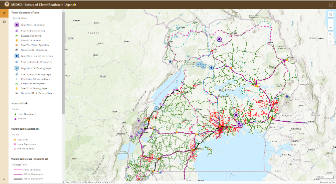
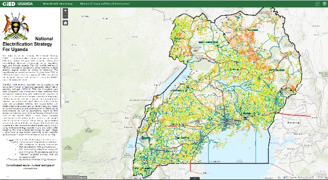
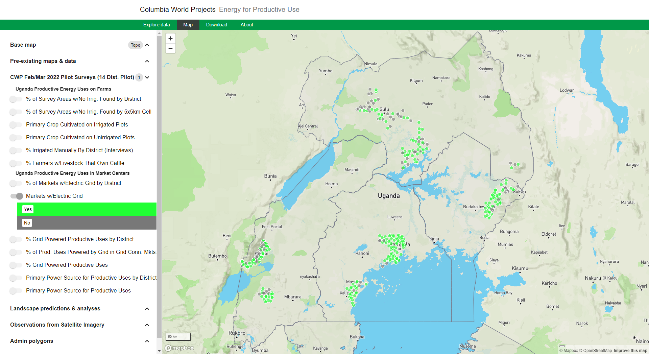
The GIS Unit under the Sectorial Planning and Policy Analysis Department contributes the projects and programmes in the energy sector through geospatial data- collection, management and analysis. It supports the monitoring and planning activities throughout the energy sector.
Resources
Find below the links to useful webmaps / portals that are published or supported by the GIS Unit.
![](https://memd.go.ug/wp-content/uploads/2023/01/electrification.png)
![](https://memd.go.ug/wp-content/uploads/2023/01/strategy.png)
Click the link below for more information
![](https://memd.go.ug/wp-content/uploads/2023/01/access.png)
Click the link below for more information
![](https://memd.go.ug/wp-content/uploads/2023/01/mgt-sysstem.jpg)
Click the link below for more information
Electronic Database & Information Management System (EDIMS for REP)
![](https://memd.go.ug/wp-content/uploads/2023/01/productive.png)
Click the link below for more information